x

Services

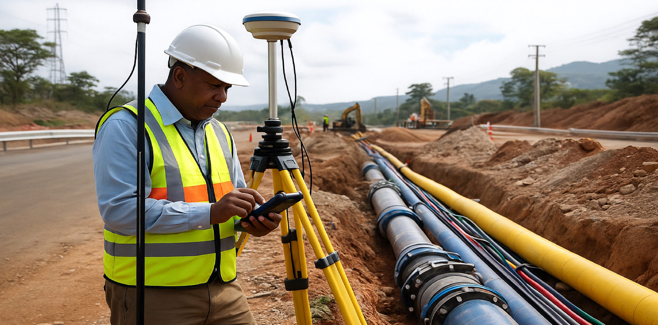
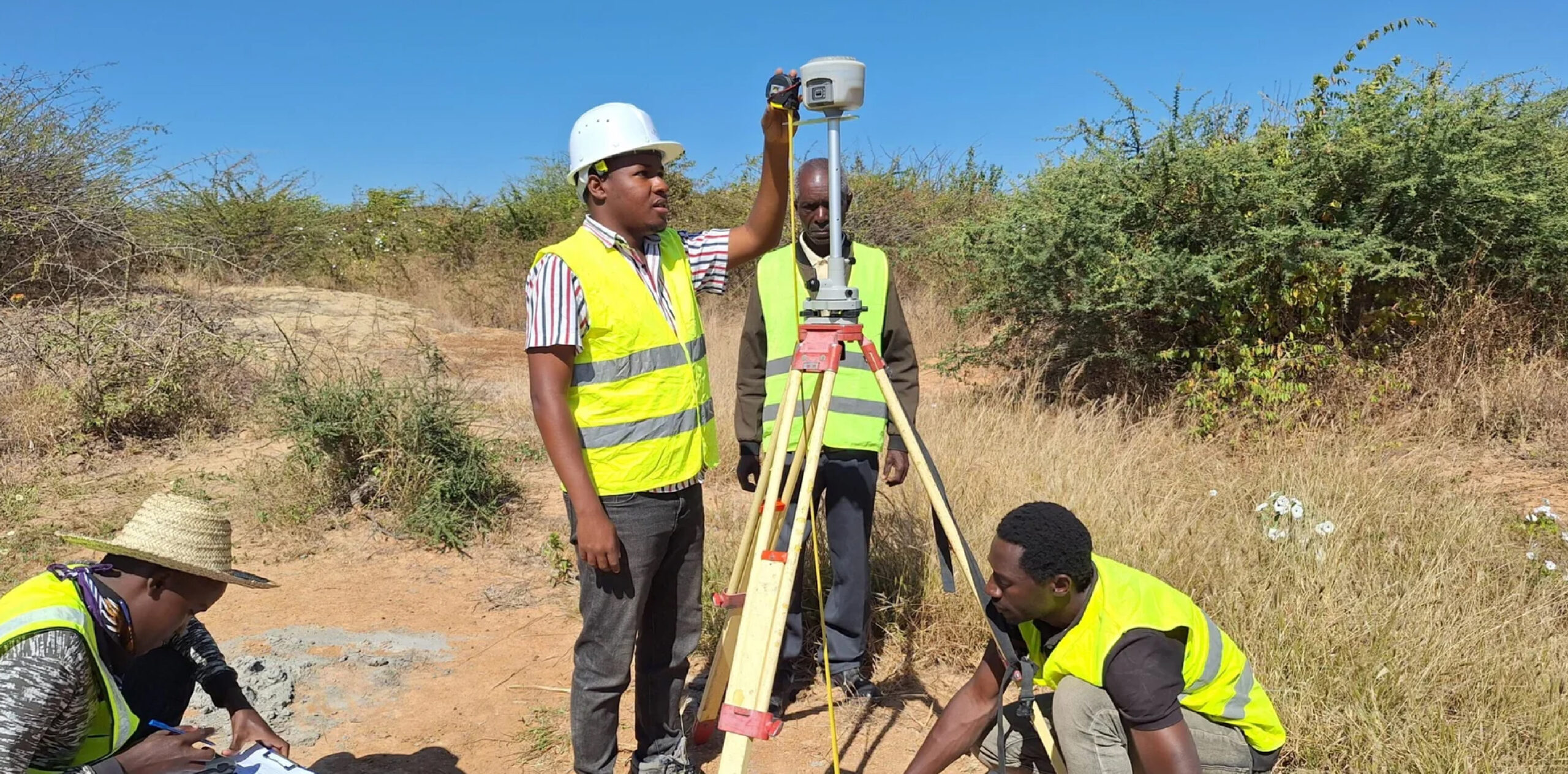
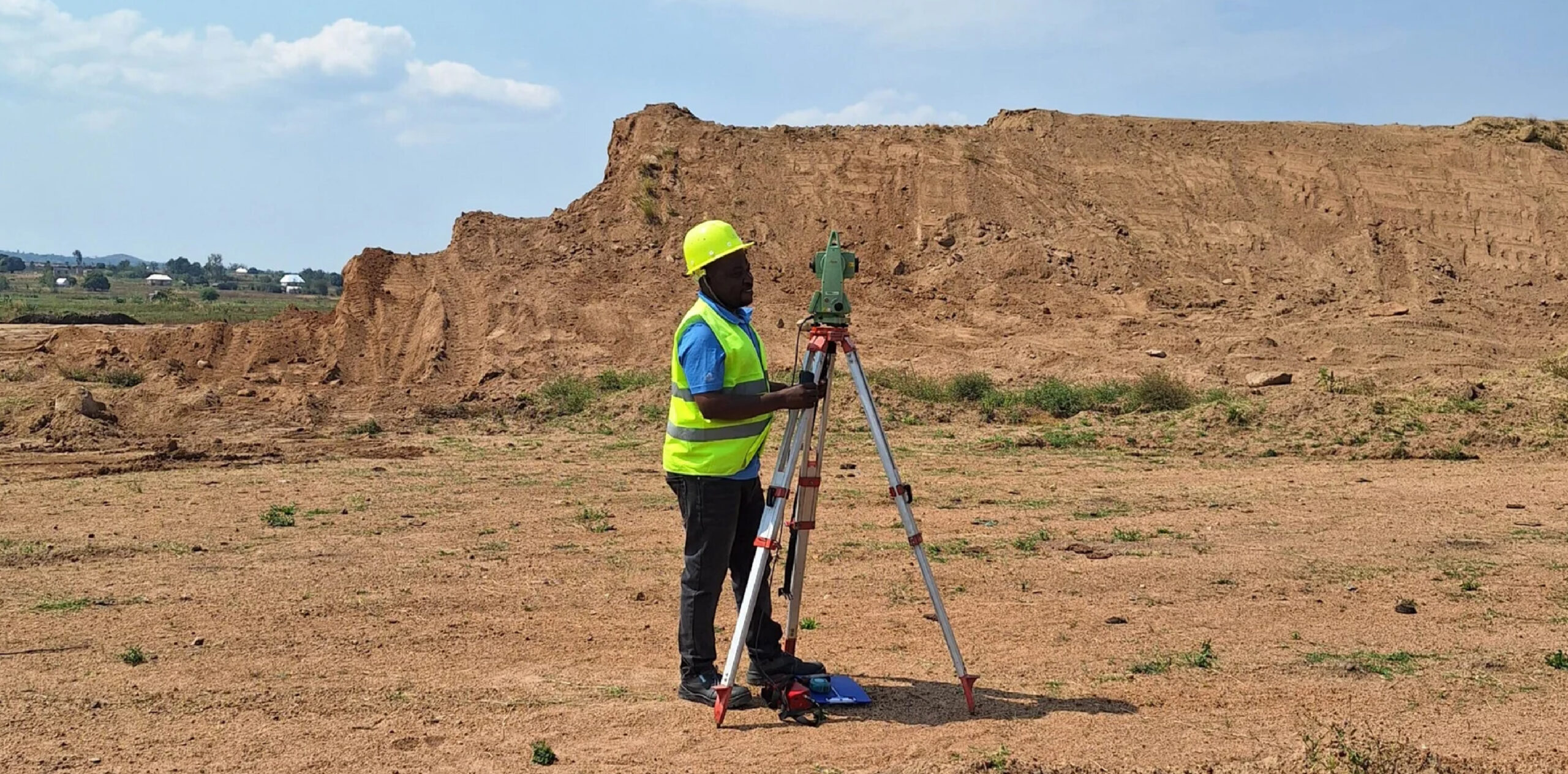
Cadastral Surveys Delivered with Absolute Precision

At GECL, our cadastral survey services are designed to bring clarity, certainty, and legal confidence to every land parcel. We combine advanced RTK GNSS positioning systems with experienced professional surveyors to produce highly accurate boundary measurements, detailed parcel mapping, and comprehensive documentation suitable for land registration, planning approvals, and dispute resolution. Our approach ensures that […]

Read More Read More

Topographical Surveys for Smarter Land Development

Topographical surveys form the backbone of effective planning, engineering, and land development. At GECL, we provide high-accuracy topographical mapping that captures every natural and man-made feature of the landscape with exceptional detail. Using advanced RTK GNSS, Total Stations, drones, and GIS technologies, our team translates complex terrain into reliable spatial data that architects, engineers, urban […]

Read More Read More

Engineering Surveys for Accurate, Safe Construction

Engineering surveys are essential to ensuring that infrastructure projects are designed and built accurately, safely, and in accordance with technical specifications. At GECL, we provide comprehensive engineering surveying solutions that support every stage of project development — from initial planning and layout to construction supervision and final verification. Our team works with precision instruments, including […]

Read More Read More

Deformation & Monitoring Surveys

Deformation and monitoring surveys are critical for assessing the stability, safety, and long-term performance of structures, land surfaces, and engineered assets. At GECL, we provide advanced deformation monitoring solutions designed to detect subtle movements, displacements, or structural changes that could pose risks to infrastructure or the surrounding environment. Using high-precision geodetic instruments — including RTK […]

Read More Read More

Wayleave & Utility Infrastructure Surveys

Wayleave and utility surveys are essential for the planning, design, and construction of major infrastructure corridors such as pipelines, power lines, fiber-optic routes, water mains, transportation links, and other linear projects. At GECL, we provide comprehensive wayleave and utility mapping services that ensure every project is executed with clarity, legal compliance, and minimal disruption to […]

Read More Read More

GIS & Remote Sensing – Spatial Intelligence for Smarter Decisions

GIS and Remote Sensing are at the heart of modern geospatial intelligence, transforming raw spatial data into meaningful insights that support planning, decision-making, and sustainable development. At Geomatcis Engineering & Surveying Company Ltd, we provide advanced GIS and Remote Sensing solutions designed to help clients understand land, resources, infrastructure, and environmental conditions with exceptional clarity. […]

Read More Read More