
GIS & Remote Sensing – Spatial Intelligence for Smarter Decisions
GIS and Remote Sensing are at the heart of modern geospatial intelligence, transforming raw spatial data into meaningful insights that support planning, decision-making, and sustainable development. At Geomatcis Engineering & Surveying Company Ltd, we provide advanced GIS and Remote Sensing solutions designed to help clients understand land, resources, infrastructure, and environmental conditions with exceptional clarity.
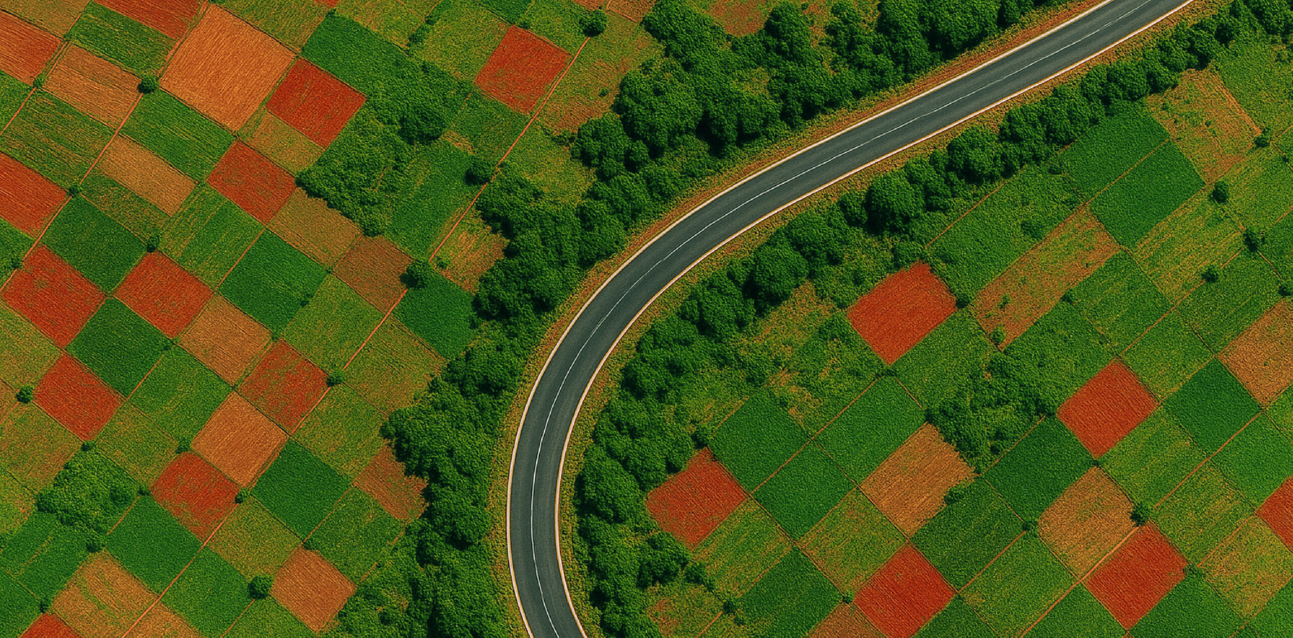
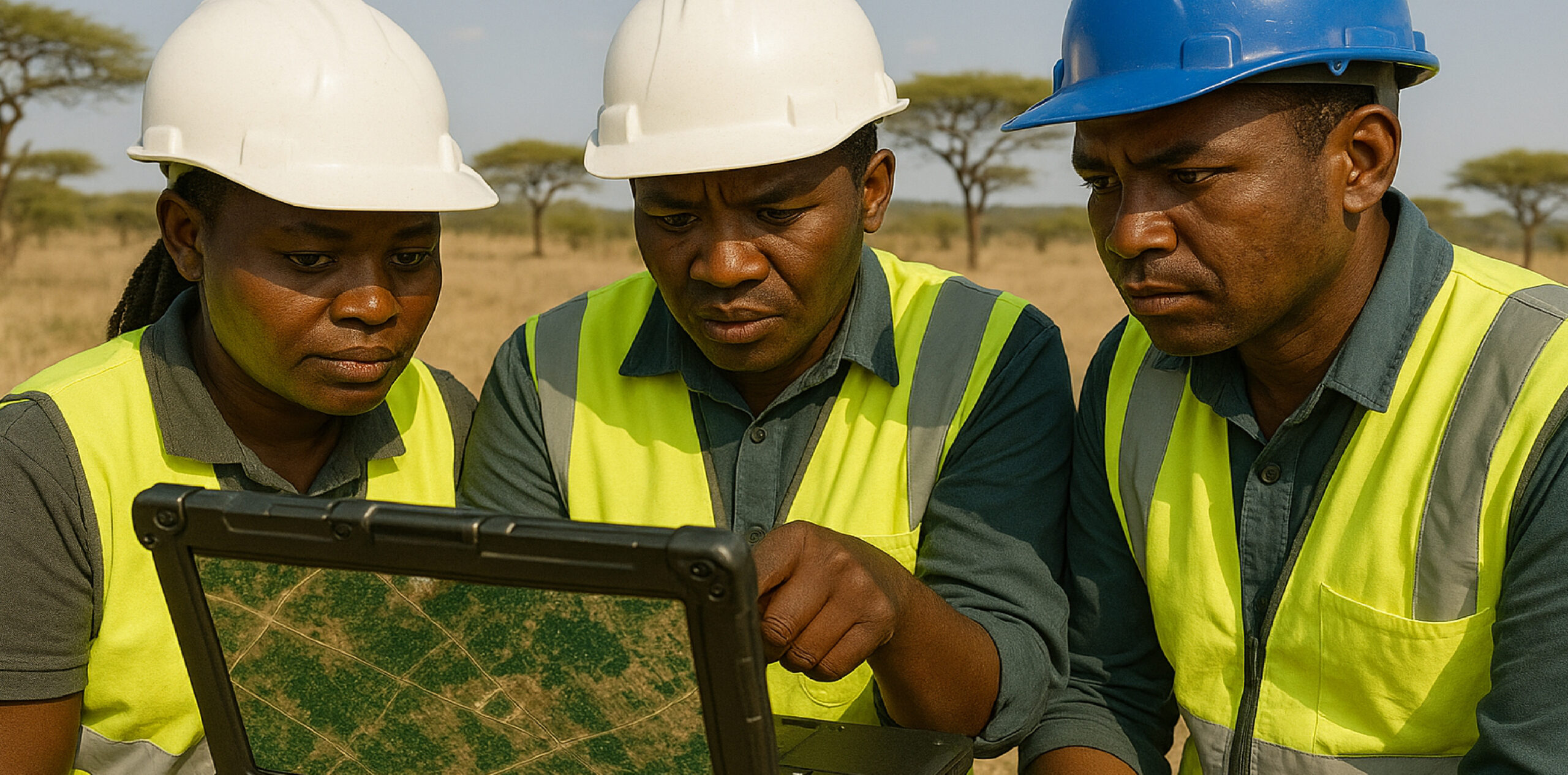
Our services combine satellite imagery, drone photogrammetry, GPS/GNSS surveys, and powerful GIS software to capture, analyze, and visualize spatial information across large and complex areas. We generate accurate maps, spatial databases, thematic layers, 3D models, and analytic reports that enable clients to plan smarter, manage risks, and optimize operations.
GIS and Remote Sensing allow us to see what the ground cannot reveal at a glance. With the right spatial insights, decisions become clearer, faster, and far more reliable.
Goodluck Ngowi

GECL supports a wide range of applications, including urban planning, land use mapping, environmental monitoring, infrastructure planning, natural resource management, hazard assessment, agricultural intelligence, and project monitoring. Whether the project is a small community survey or a national mapping assignment, our team ensures that every dataset meets the highest standards of accuracy, quality, and usability.
We also design GIS systems and dashboards that integrate seamlessly with client workflows, allowing organizations to store, update, analyze, and share spatial information in real time. From data collection to spatial analysis, visualization, and decision-support tools, GECL delivers end-to-end geospatial solutions tailored to the needs of governments, private developers, NGOs, utilities, and engineering firms.
With our blend of advanced technology, professional expertise, and rigorous quality control, GECL empowers clients to see the bigger picture — and make informed decisions grounded in precise, reliable geospatial data.

Add a comment