
Cadastral Surveys Delivered with Absolute Precision
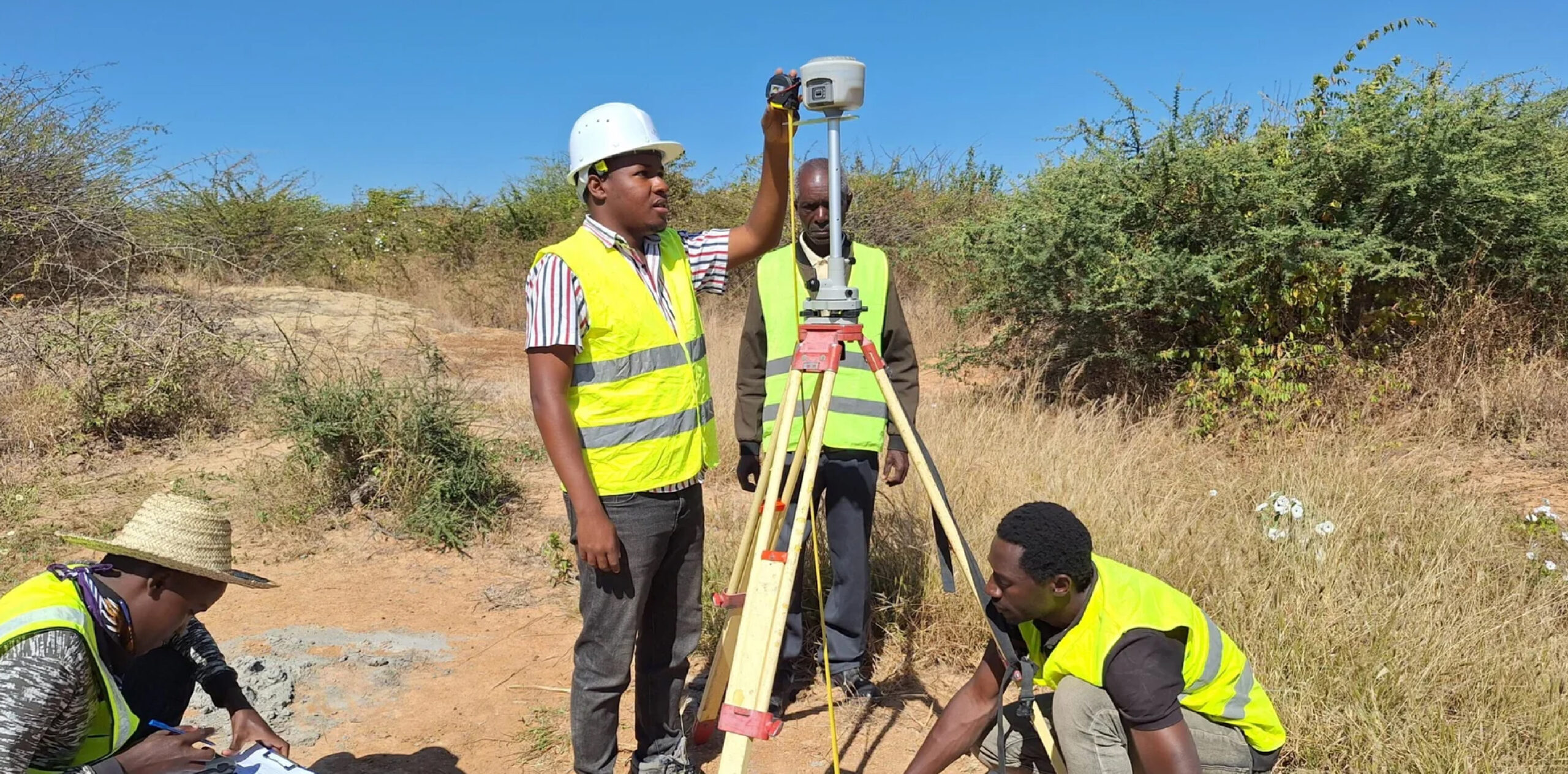
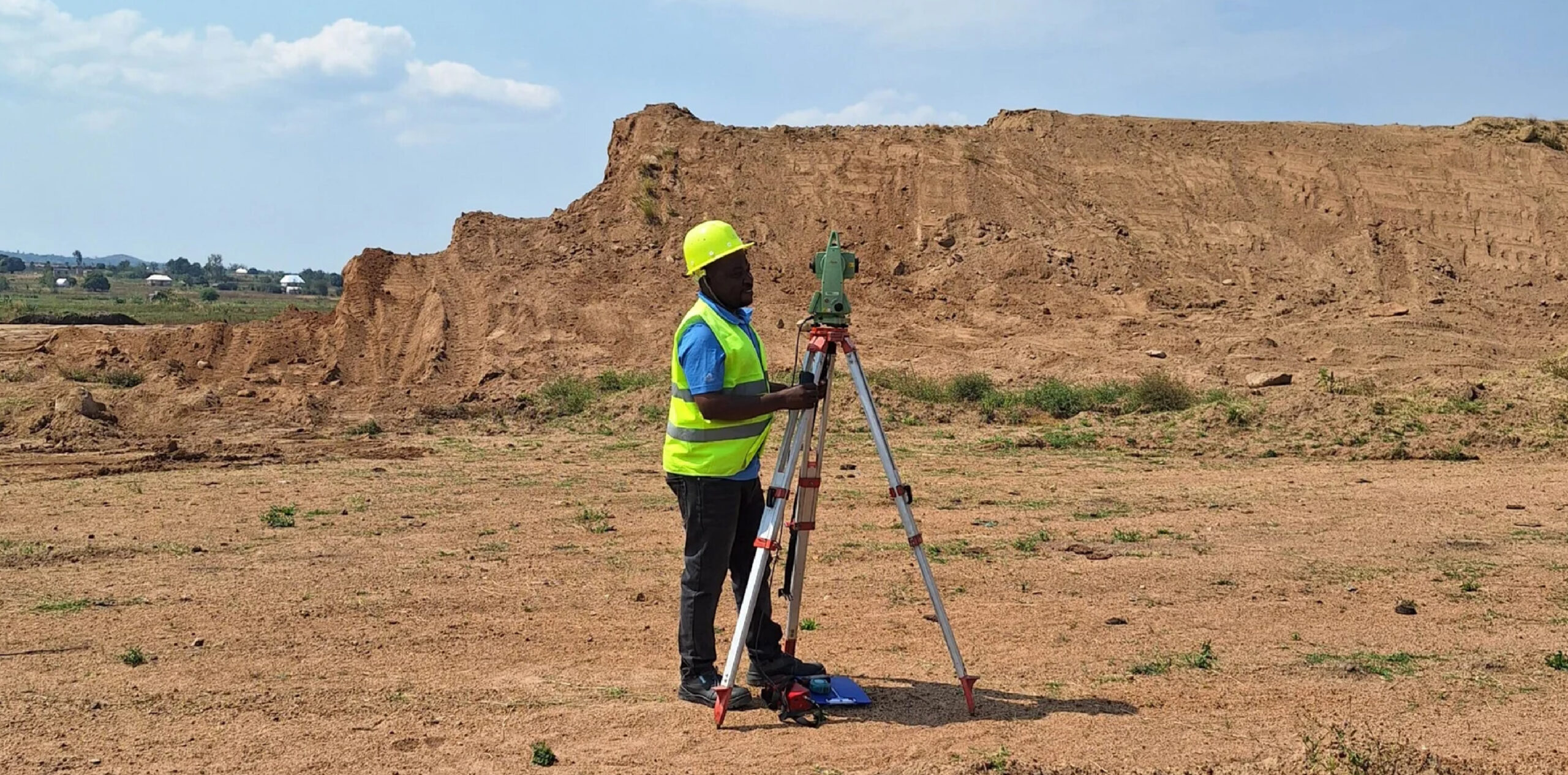
At GECL, our cadastral survey services are designed to bring clarity, certainty, and legal confidence to every land parcel. We combine advanced RTK GNSS positioning systems with experienced professional surveyors to produce highly accurate boundary measurements, detailed parcel mapping, and comprehensive documentation suitable for land registration, planning approvals, and dispute resolution. Our approach ensures that each survey is executed with precision, transparency, and full compliance with national surveying and land administration standards.
Whether you are a private landowner seeking to secure your title, a developer preparing a large subdivision, or a government institution managing land inventories, GECL provides a seamless end-to-end experience. We identify existing boundary positions, re-establish lost or disputed markers, undertake parcel demarcations, prepare official survey plans, and guide clients through the verification and approval procedures. Every output is produced with meticulous attention to detail to safeguard ownership rights and support long-term land management decisions.
Goodluch Ngowi

GECL’s commitment to accuracy, professionalism, and technological excellence makes our cadastral services a trusted choice for clients across Tanzania and the region. Every boundary we measure, every parcel we map, and every plan we produce reflects our dedication to precision and integrity in the land sector. With GECL, you receive more than a survey — you receive a solid foundation for ownership, development, and future growth.
Defining Land with Absolute Precision
Our cadastral surveys add value beyond measurement. They mitigate conflicts, reduce legal risks, support formalization programs, and provide authoritative data for investment planning, project financing, and long-term land development. By integrating GIS tools, modern imaging technologies, and geodetic reference frameworks, GECL transforms complex land information into easy-to-understand maps and records tailored to client needs. From dense urban plots to expansive rural holdings, we deliver dependable data that empowers individuals, communities, and institutions to move forward with confidence.Our cadastral surveys add value beyond measurement. They mitigate conflicts, reduce legal risks, support formalization programs, and provide authoritative data for investment planning, project financing, and long-term land development. By integrating GIS tools, modern imaging technologies, and geodetic reference frameworks, GECL transforms complex land information into easy-to-understand maps and records tailored to client needs. From dense urban plots to expansive rural holdings, we deliver dependable data that empowers individuals, communities, and institutions to move forward with confidence.

Add a comment